Directional Solutions. Accurate Results.
Deviated wells, drilled to plan.
Geo Mag Technologies is a directional drilling service company. We provide the tools needed to drill a deviated oil or gas well, including mud motors, MWD tools, and the complete bottom hole assembly required to drill the well.
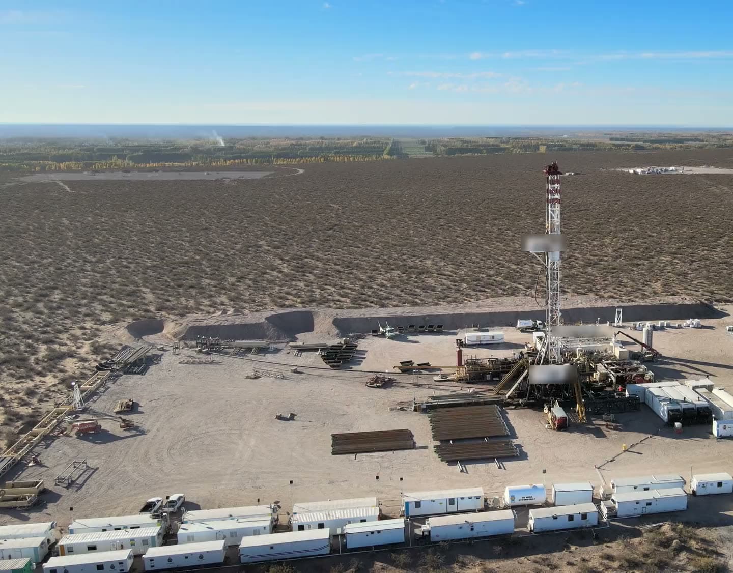
Background: Aerial view of a land drilling rig · editorial stock footage
Directional drilling, MWD/LWD, and well planning.
The tools and technical support to plan, drill, and measure a deviated well.
Directional Drilling
Bico and Tomahawk mud motors / Key Drill drilling systems / Complete bottom hole assembly (BHA) packages
Deviated and horizontal wellbores drilled to plan, with the mud motors, MWD tool and complete bottom hole assembly supplied and run by Geo Mag.
Details
MWD/LWD Services
Directional, gamma and resistivity configurations / PWD and wave propagation resistivity in the string / Tolteq & Rime MWD/LWD tools / Eclipse Touch & Keydrill surface systems / Polaris Gamma logging software
Mud-pulse MWD with gamma, resistivity and pressure-while-drilling on a company-owned tool fleet, decoded at the rig and delivered by WITS and WITSML.
Details
Well Planning & Technical Consulting
Pre-drill trajectory design and technical consulting, with geosteering support from real-time resistivity once the bit is in the ground.
Details
Services
Directional Drilling.MWD/LWD.Well Planning.
The tools and technical support to plan, drill, and measure a deviated well.
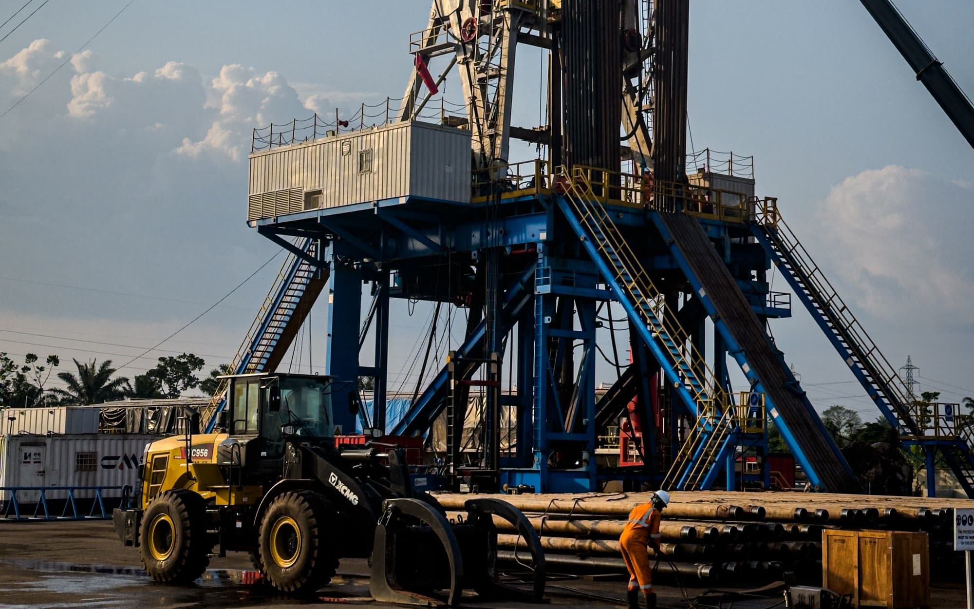
Drilling rig and pipe rack at dusk · editorial stock photograph
In operation since
0
Availability
0 Hours
Coverage
United States & International
Based in
Broussard, LA
From the bit to the office, in near real time.
Decoded at the rig floor, logged in the trailer, shared with the rig, and pushed to the client server.
Measurement chain, tool to officeIllustrative
Measure
Directional, gamma, resistivity and pressure-while-drilling measurements are taken in the MWD string as the well is drilled.
- MWD toolDownhole measurements encoded as mud pulses
Transmit
The positive-pulse tool encodes the readings as pressure pulses in the mud column. A standpipe transducer picks them up at surface.
- Pressure transducerStandpipe pressure signal into the decoder
Decode
The KDU-Mini resolves pulses as low as 1 psi at the rig floor and sends the decoded values wirelessly to the trailer.
- KDU-MiniDecodes the pulses at the rig floor and sends the data wirelessly to the trailer
Monitor
Polaris RDS logs and plots locally, shares the feed with the rig monitoring system, and pushes it to the client WITSML server so office engineers follow the well in near real time.
- Polaris RDSLogs, plots and stores the data locally
- Rig WITS / EDRShares the feed with the rig monitoring system
- WITSML serverPushed to the client server, up to four destinations, with corrections re-sent
- Remote usersOffice engineers monitor the well in near real time
SourceData path from the Polaris Guidance Systems documentation in the Geo Mag presentation. Remote monitoring is a Geo Mag statement. Pulse detection figure: KeyDrill KDU-Mini datasheet.
How Geo Magruns MWD/LWD
Company-owned tools, maintained in-house and configured for the well.
Company-owned MWD systems
Geo Mag relies heavily on company-owned MWD systems so that quality control stays at its highest level.
In-house inspection and repair
Tools are inspected and repaired in-house rather than sent out.
Vendor-partnered modifications
Geo Mag has partnered with its vendors to make proprietary modifications to tool components, resulting in improved performance and accuracy.
Field-configurable tool strings
The MWD tools assemble easily in the field and can be configured as directional, gamma, or resistivity strings for a variety of downhole conditions.
Pressure and resistivity in the string
The PWD tool and the wave propagation resistivity sub run fully integrated in the MWD tool string and deliver wireline-like logs through mud-pulse telemetry.
Remote monitoring
The Polaris logging system gives the customer remote monitoring of the job from anywhere on the network.
SourceGeo Mag company presentation.
Where the tools have run
Horizontal wells listed in the Geo Mag company presentation, with operator, location and measured depth.
Wells listed
0
Deepest measured depth
0 ft
States
WY, ND, TX
Operators
Samson Resources, BPX
- 01BR Federal ResourcesConverse County, WY14,836 ft MD
- 02Cougar #26-35-163-97HDivide County, ND17,335 ft MD
- 03DCR State #21-16HConverse County, WY14,825 ft MD
- 04Marauder 13-24-162-98HDivide County, ND18,624 ft MD
- 05Montclair 1-12-163-99HDivide County, ND17,262 ft MD
- 06Prowler 23-25-163-97HDivide County, ND18,100 ft MD
- 07Titan 36-25-164-99HDivide County, ND14,016 ft MD
- 08Koala Gas Unit 2 HBSan Augustine, TX12,842 ft MD
- 09Europa Gas Unit 2 HNacogdoches, TX12,865 ft MD
- 10Roo Gas Unit 2 HSan Augustine, TX12,927 ft MD
- 11Roo Gas Unit 2 HBSan Augustine, TX12,864 ft MD
- 12Callisto GU 2 HBNacogdoches, TX12,954 ft MD
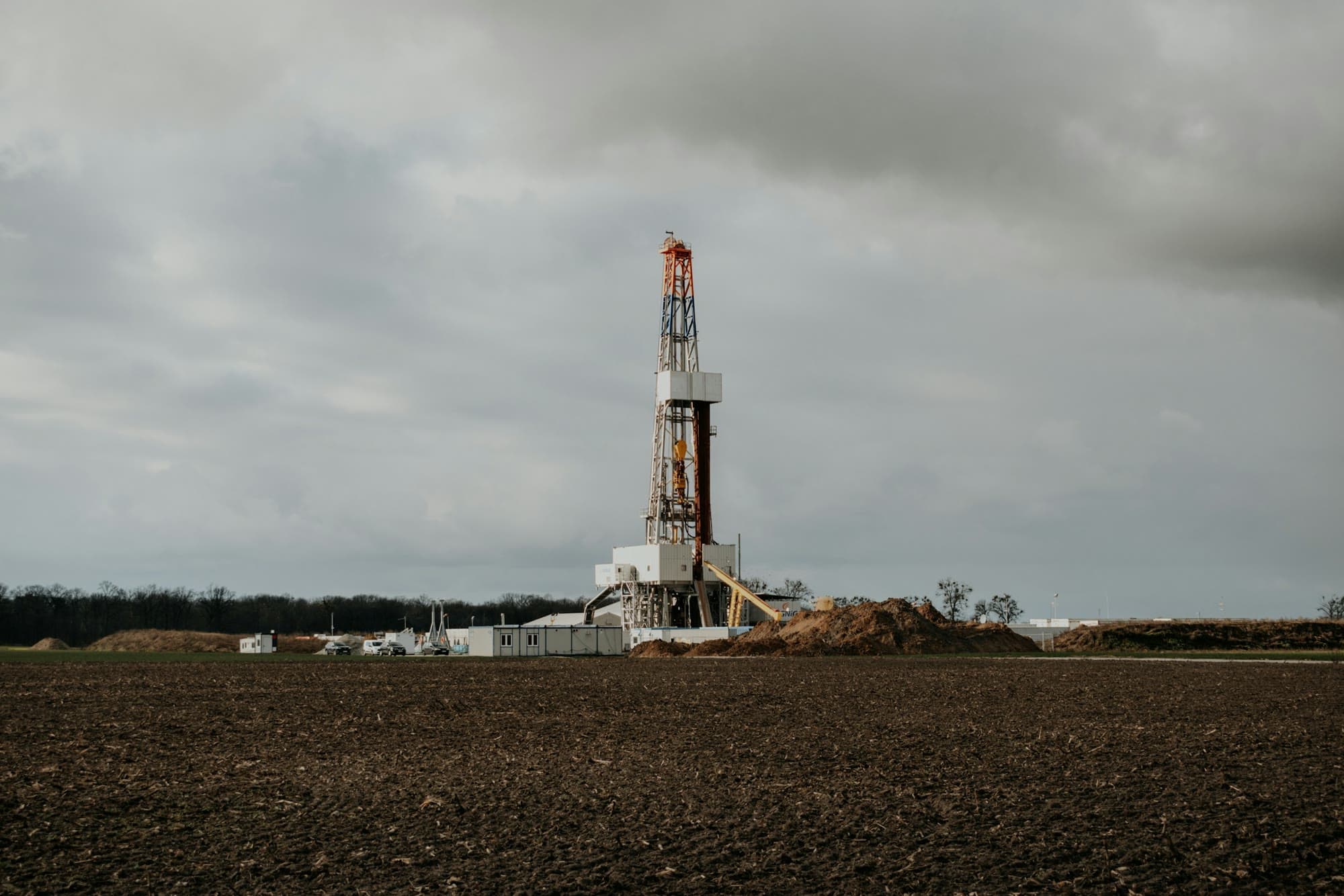
Background: Land drilling rig in open country · editorial stock photograph
Why operators choose Geo Mag
Quality of work and customer service.
In operation since 2007, based in Broussard, Louisiana.
Available anywhere in the United States, with international project experience — travel distance is not a limiting factor.
Talk to Geo Mag about your next well.
Call or text (337) 278-4607, 24 hours. Or send a message through the contact form.